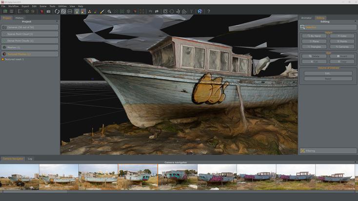
A clear understanding of the Photogrammetry Software Market Segmentation is crucial for navigating its diverse applications, user bases, and technological approaches. The most fundamental method of segmentation is by the type of photogrammetry, which is primarily divided into aerial and terrestrial (or close-range) photogrammetry. The aerial photogrammetry segment is the larger of the two and involves capturing images from an airborne platform, predominantly drones, but also manned aircraft and helicopters. This segment is dominated by applications that require mapping large areas, such as topographic surveying, construction site monitoring, agriculture, and mining. The software in this segment is optimized for processing large, structured datasets and generating outputs like orthomosaics, Digital Surface Models (DSMs), and Digital Terrain Models (DTMs). In contrast, the terrestrial photogrammetry segment involves capturing images from the ground, either handheld or on a tripod. This is used for modeling smaller objects or building facades with high detail and is prevalent in industries like cultural heritage for artifact documentation, forensics for crime scene reconstruction, and visual effects for creating detailed digital assets. This segmentation defines the core data acquisition method and the primary application scale.
Another critical method of segmentation is by the end-user industry, which reveals the key sources of demand and the specific requirements of different verticals. The Architecture, Engineering, and Construction (AEC) sector represents one of the largest and fastest-growing segments, using the software for site surveys, as-built documentation, and BIM integration. The Media and Entertainment segment is another major consumer, focused on creating hyper-realistic 3D assets for games, films, and VR/AR experiences. The Government and Defense segment utilizes photogrammetry for intelligence, surveillance, and reconnaissance (ISR), as well as for public services like urban planning and disaster management. Other significant end-user segments include Mining (for volumetric analysis), Agriculture (for crop monitoring), and Cultural Heritage (for preservation and research). Each of these verticals has unique workflow requirements, accuracy standards, and desired outputs, leading software vendors to often develop specialized modules or tailored solutions to cater to the specific needs of each industry, making this a vital lens for market analysis.
The market can also be strategically segmented by deployment model and by software type. The deployment model is typically split between on-premises (desktop) and cloud-based (SaaS) solutions. The on-premises segment consists of traditional, powerful software installed on a local workstation, offering users maximum control over their data and processing. This model is favored by users with high-security requirements or those working in areas with poor internet connectivity. The cloud-based segment is rapidly growing, offering the benefits of scalable processing power, collaborative features, and a subscription-based pricing model that lowers the initial investment. Segmentation by software type can distinguish between standalone photogrammetry engines (like Agisoft Metashape), which are highly specialized tools, and integrated solutions (like Autodesk ReCap), where photogrammetry is one feature within a larger suite of tools for design, engineering, or content creation. This segmentation helps to understand the different purchasing behaviors and value propositions in the market, from users seeking a best-in-class specialized tool to enterprises looking for a fully integrated, end-to-end workflow solution.
